
 FSX
FSX

Shalom and greetings all my pals,
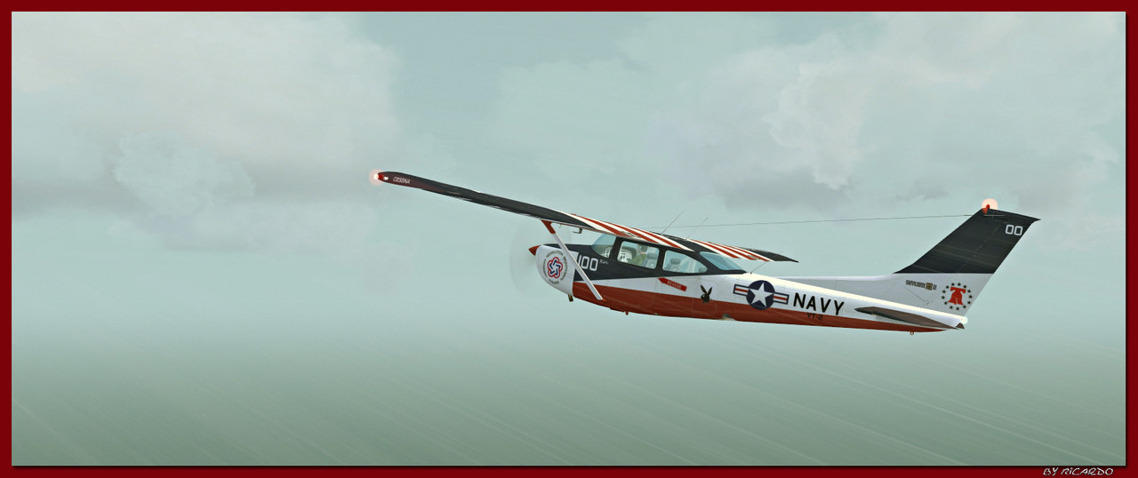
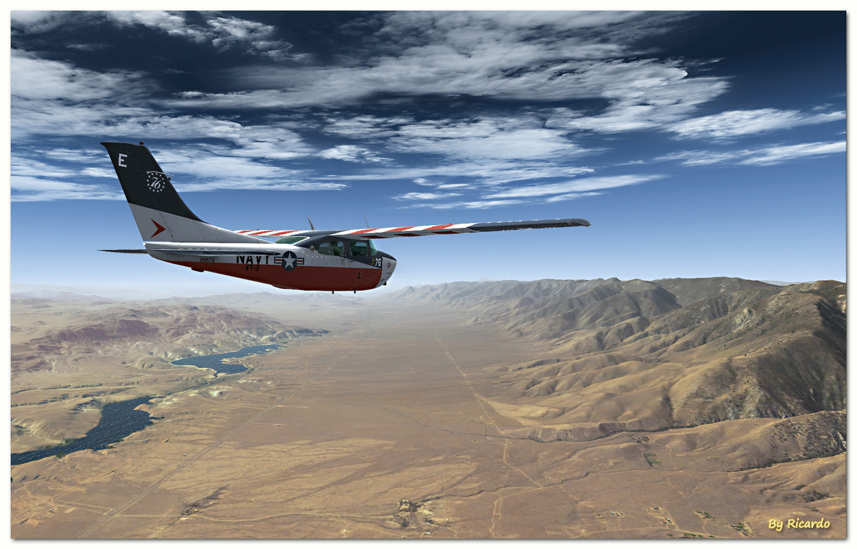
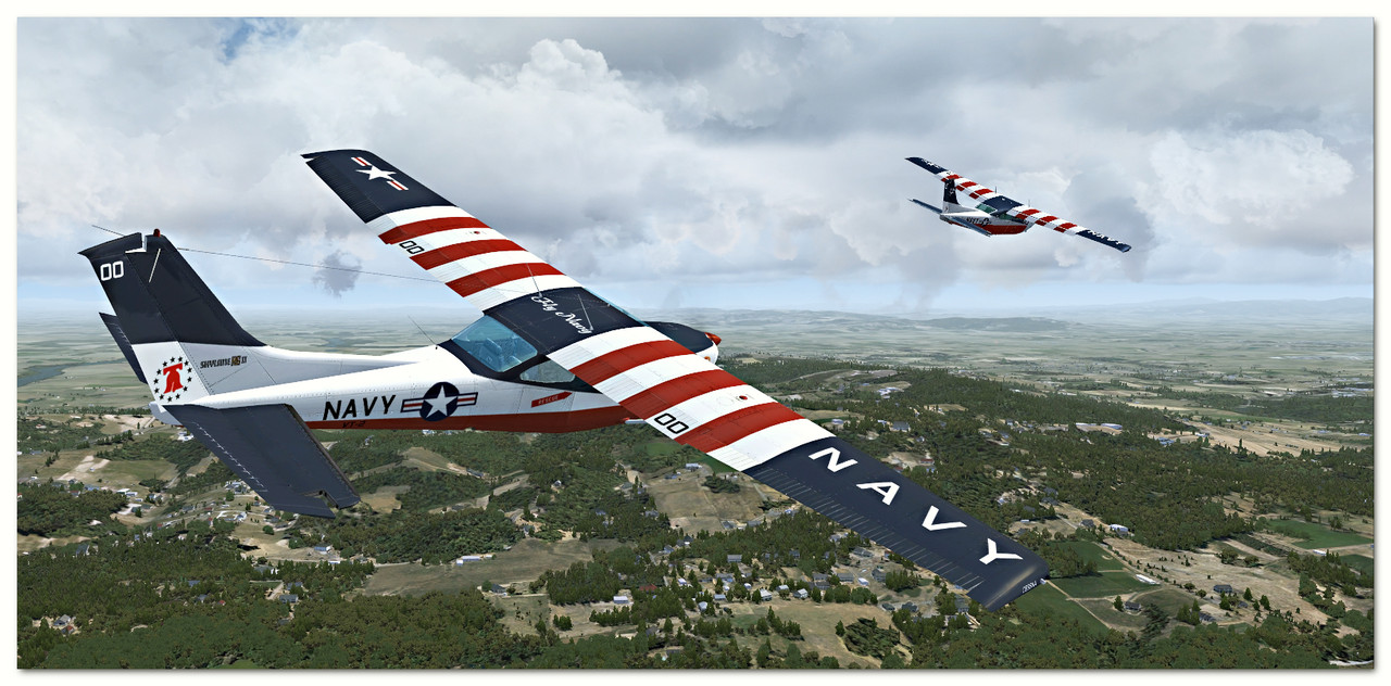
Presenting last minute emergency Cuban Missile Crisis patrol along western coast of Florida from KPIE St. PeteClearwater International Airport with its largest U.S. Coast Guard air base in USA located 9 miles north of downtown St. Petersburg, Florida to KEYW Key West International Airport located 2 miles east of the main commercial center of Key West.
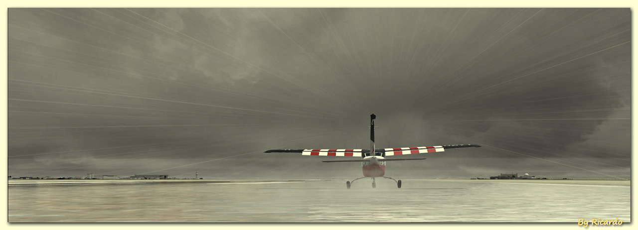
On airborne on climb to Fl210 after take off from runway 36 with background view of highway 60 also known as Courtney Campbell Causeway seen behind the tail showing waters of Old Tampa Bay on right side of the highway and waters of Mobbly Bay on left side of the highway
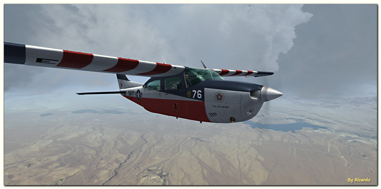
Making 180 degree right turn passing through clouds
Passing KTPA Tampa International Airport located six miles west of downtown Tampa
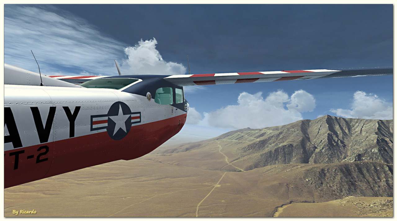
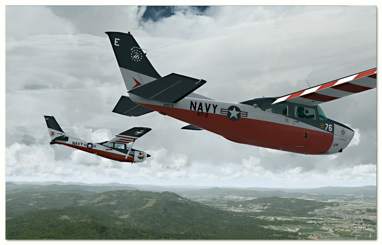
Still on climb to F210 flying back to pass waters of Old Tampa Bay
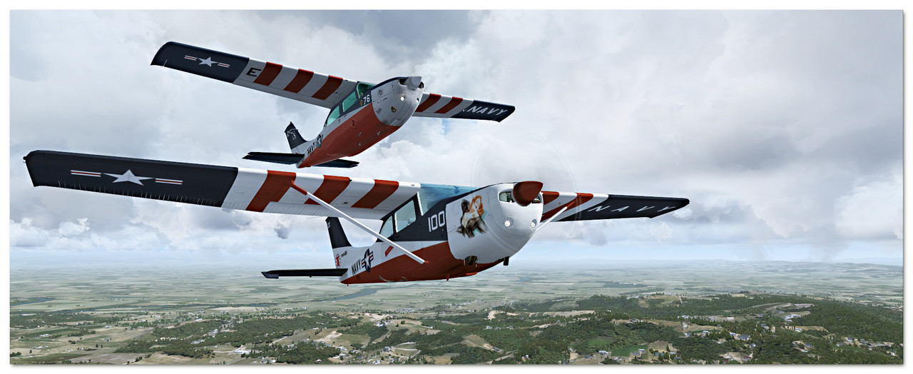
Still on climb past the airport of departure
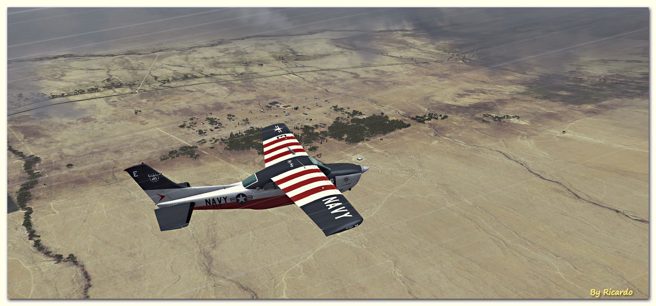
Flying past Pinellas Park suburb located north of city of St Petersburg where you can see two highways below the plane where the highway under left wing is highway route number 275 and the highway under right wing is highway route number 19 also known as 34th Street North. If you can see square shaped park off the tip of right wing, it is called Helen S. Howarth Community park
Because of regulations of the forums not permitting more than 6 screenshots per post, please be kind enough to go to this hyperlink seen below to view rest of the emergency patrol.
Here is the hyperlink: https://calclassic.proboards.com/thr...-crisis-patrol
Thank you for viewing. Stay tuned for next exciting flight report.
Regards,
Aharon


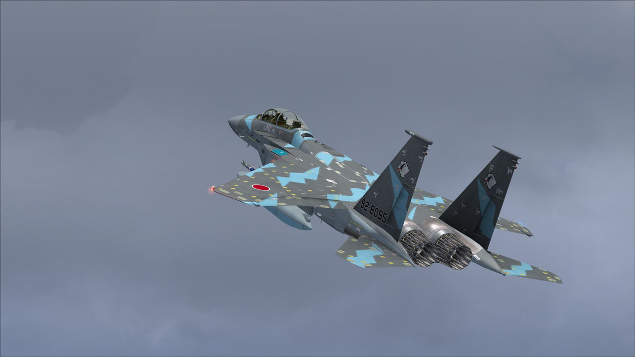
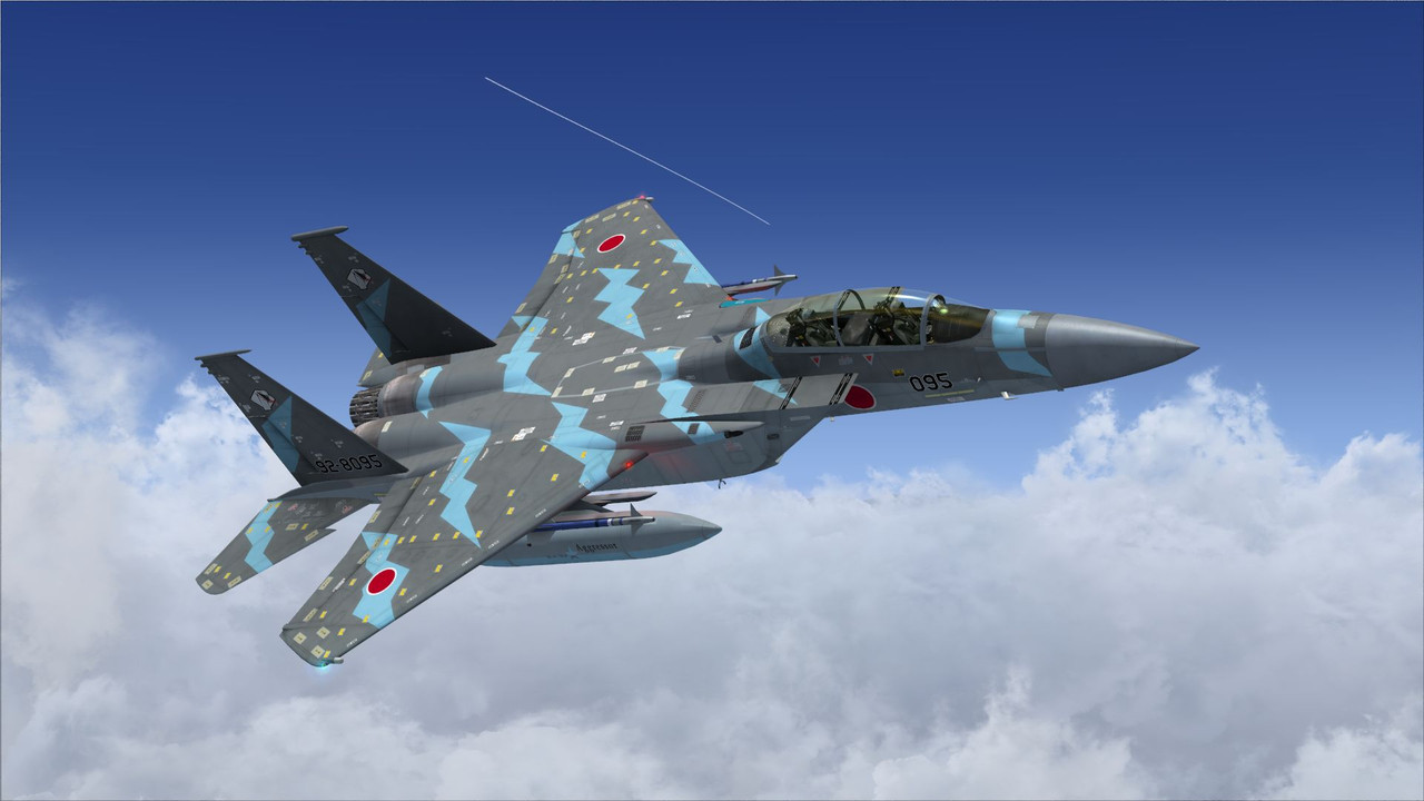
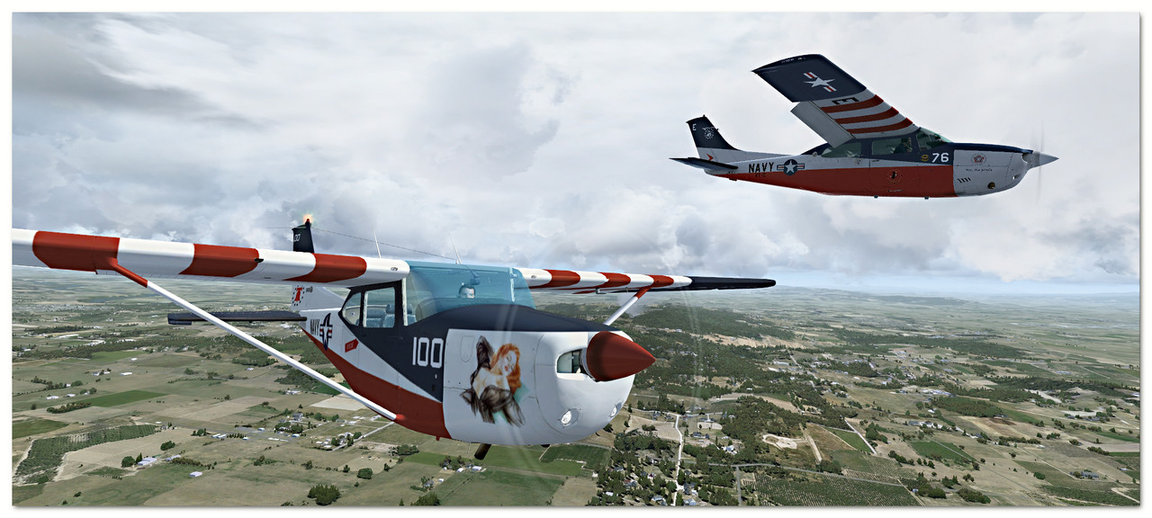
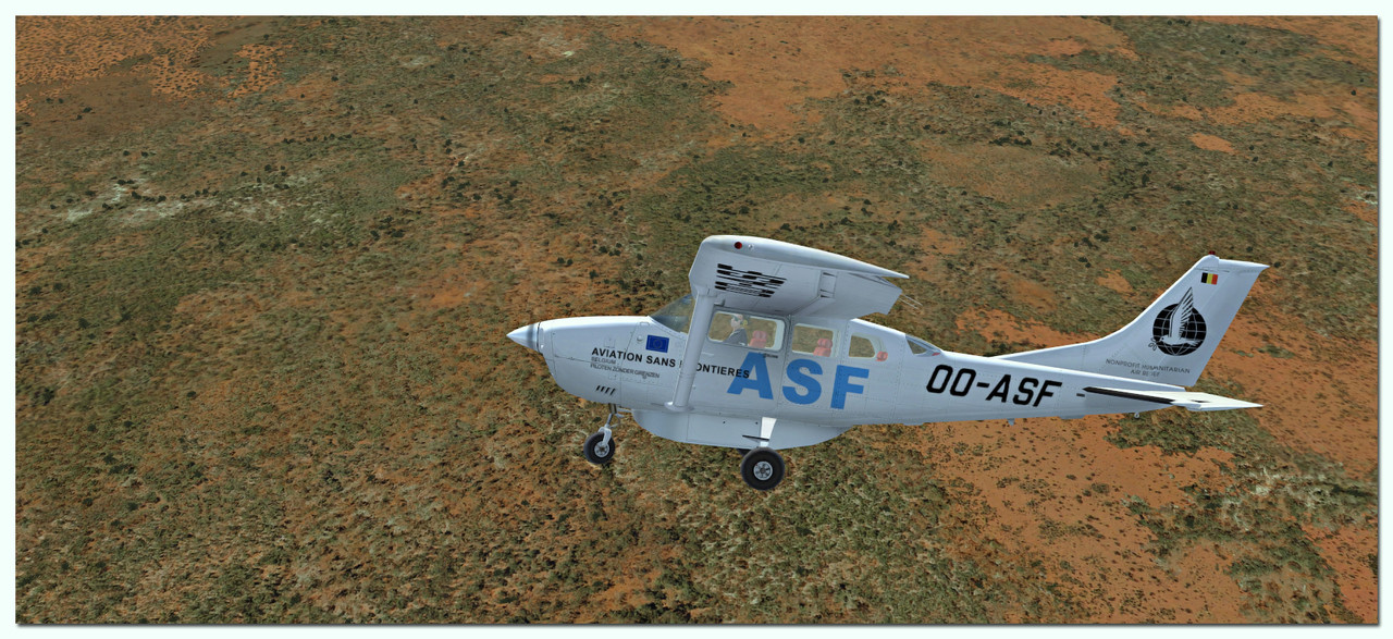
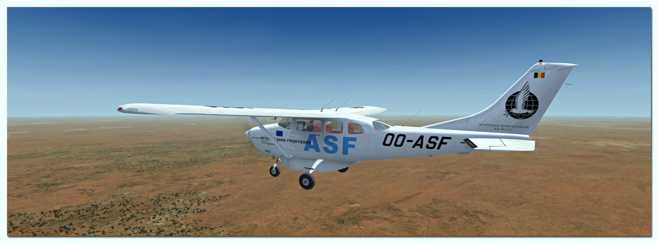
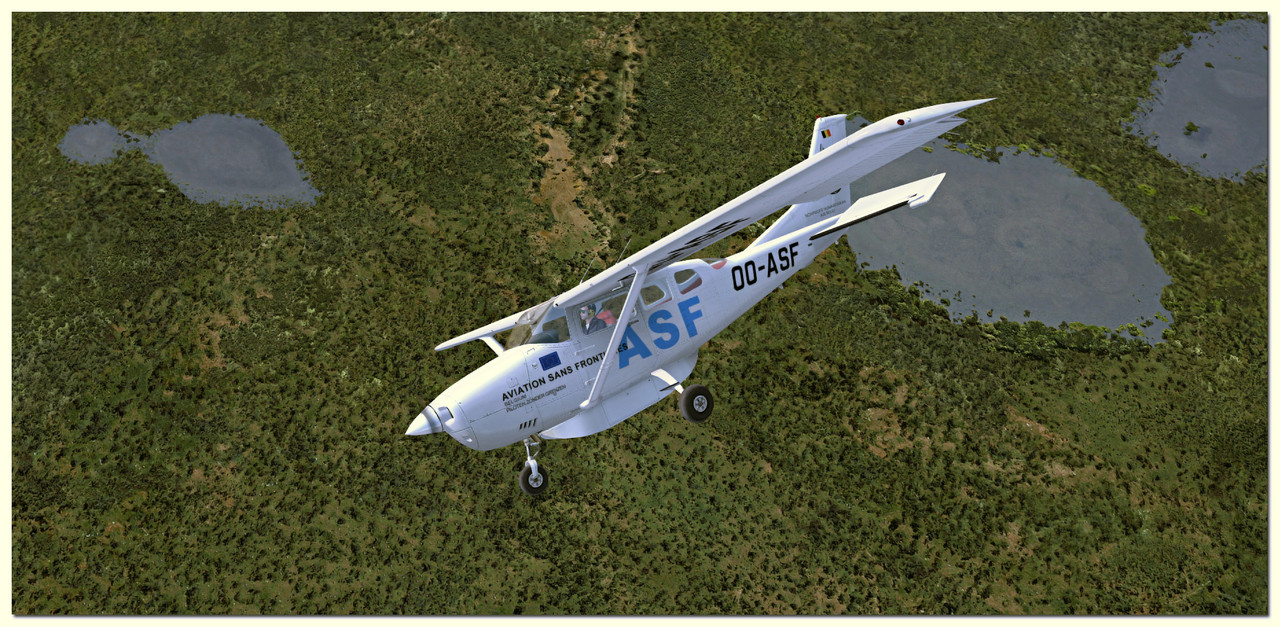
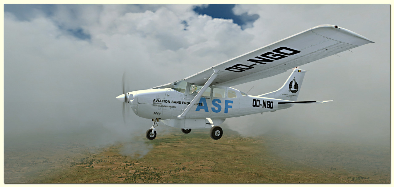
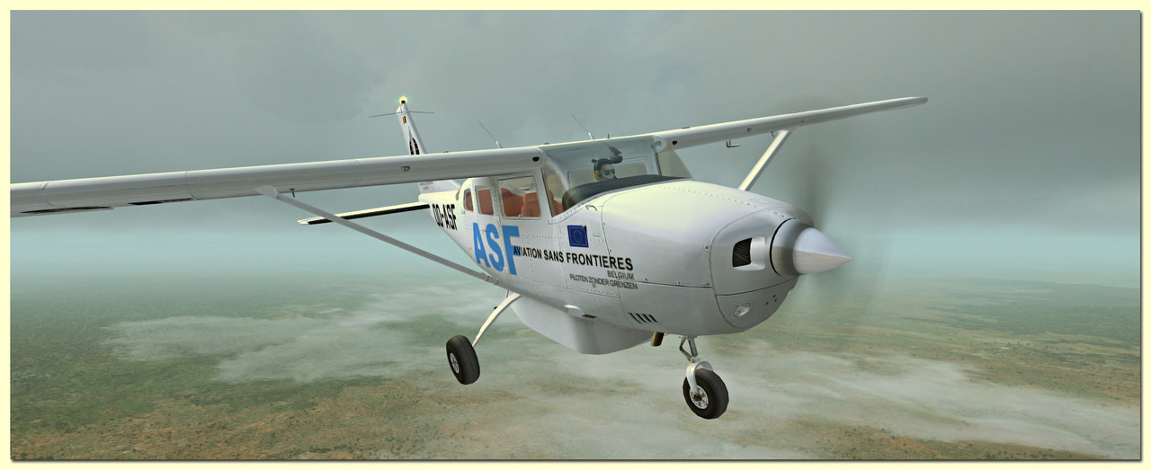
 A gorgeous repaint, Rui.


Bookmarks