
 FSX
FSX

Shalom and greetings all my pals,
On May/June/July 2016, areas of Fort McMurray had worst forest fires in history that destroyed and burnt 1,500,000 acres and 3244 buildings.
This flight report presents my second relief aid cargo flight that I made 4 years ago (I have backlog of millions of screenshots waiting for me to publish) which was from CYZF Yellowknife Airport located in Yellowknife, Northwest Territories, Canada to CYMM Fort McMurray International Airport located 7 nautical miles southeast of Fort McMurray, Alberta, Canada.
Cruising at 33,000 ft carrying heavy loads of much needed relief aid supplies bound for Fort McMurray residents
You can tell that the plane is getting near Fort McMurray when you see lots of smokes that are NOT clouds
Starting to descend now entering heavy smokes
Descending through smokes
At 5,000 ft where you can see through haze of smokes the ground showing trees
Because of regulations not permitting more than 6 screenshots per post, please be kind enough to go to this hyperlink to view rest of the report.
Here is the hyperlink: https://tonymadgehjg.proboards.com/t...t-comes-rescue
Thank you for viewing. Please stay tuned for next exciting flight
Regards,
Aharon


 Reply With Quote


 Striker, listen, and you listen close: flying a plane is no different than riding a bicycle, just a lot harder to put baseball cards in the spokes.


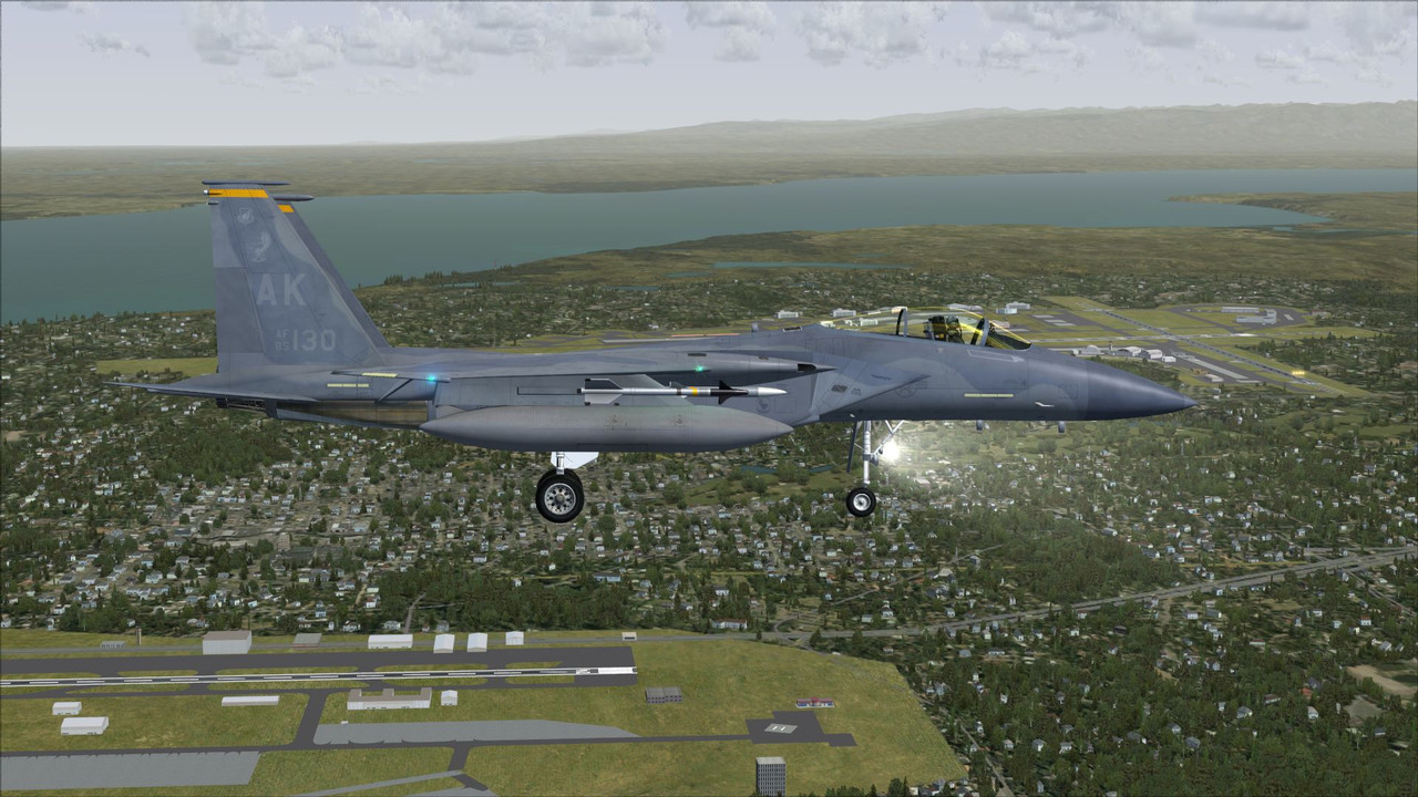
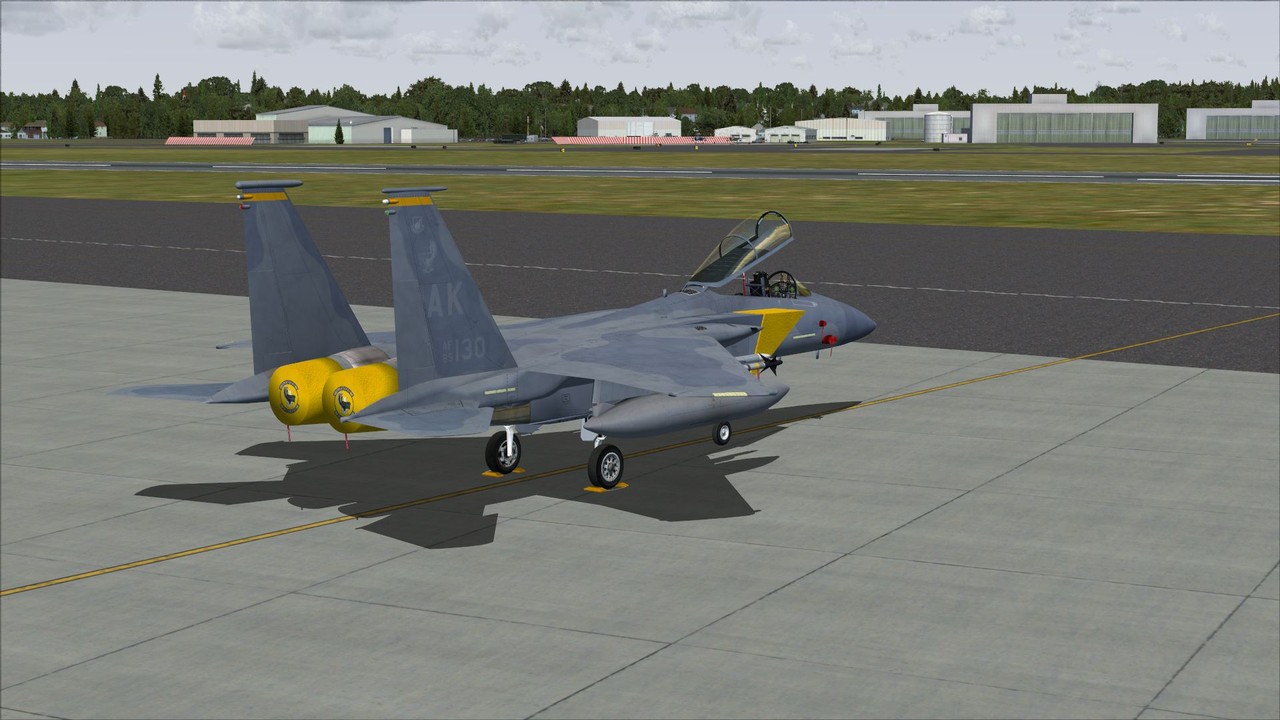
 Nice cold AK Eagle show!


Bookmarks