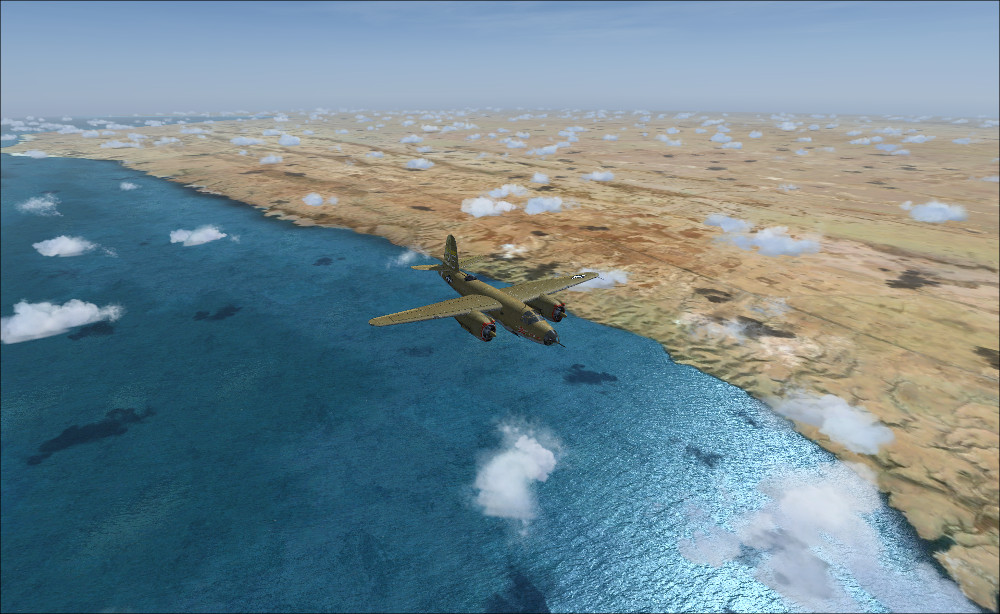
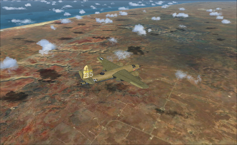
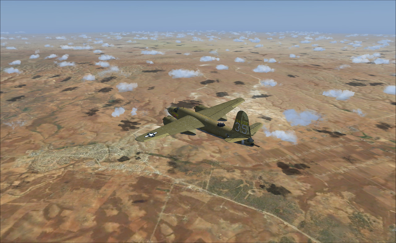
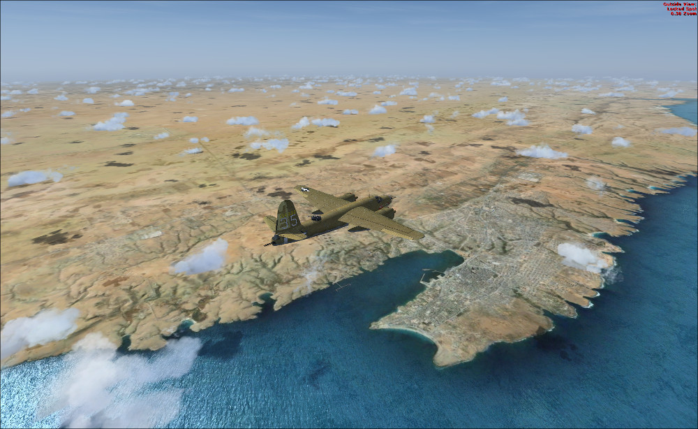
The major issue for me is the plain,
uniform & thus boring sand landscape to fly over... But I tested a free available photoscenery
of whole N. Africa - Sahara and things improve dramatically. It's a 16m/pixel photoscenery (http://www.airhispania.com/phpBB3/vi...hp?f=77&t=3743),
suitable for flying above 15.000 feet. But even at ground level, I prefer this over what FSX offers :
Not much I can add to this for some time. Had to rebuild the hard drive and FSX due lightning strike. Take me a while to catch up again. Still following this with interest but sundry wip LG's went up in smoke. Will add what I can when I can.
XPELEKIS - Nice find. I will check it out seeming I am doing a rebuild. Thanks.

 FSX
FSX


 Reply With Quote


Bookmarks